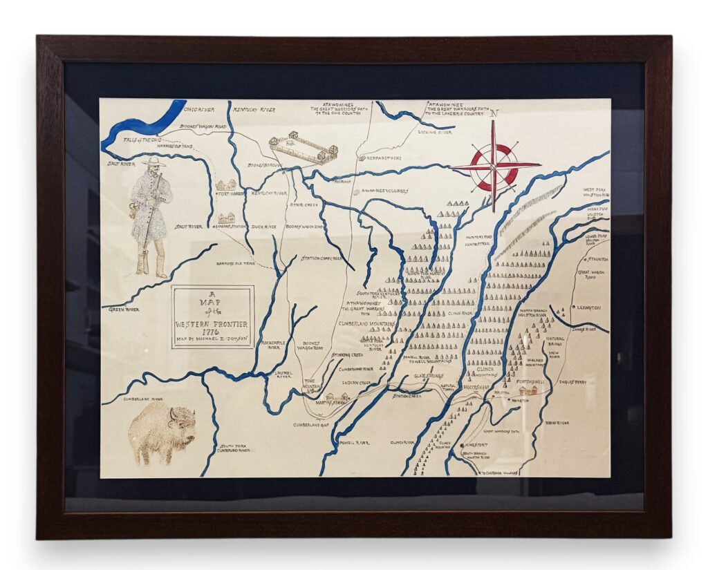

Lot 25: Hand-Drawn 18th Century Map by: Michael Dotson
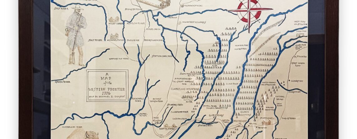
In 1776, the burgeoning settlements on the Virginia frontier began to push west. The explorers, long hunters and settlers began to carry their longrifles over the mountains and into the western frontier. This wonderful map by Michael Dotson documents the trails, forts, settlements and landmarks of this area. Carefully hand-drawn with a nib dip pen and ink, and based on 18th century maps, journals and his own research, this beautiful framed map will serve as a treasure for years to come!